
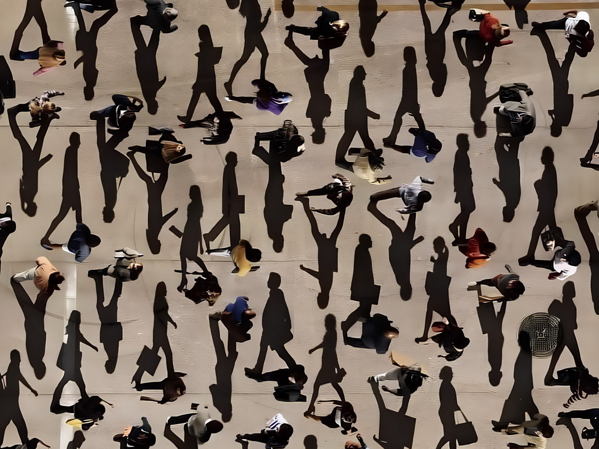
The safety of pedestrians who use smartphones while walking remains a problem that is difficult to assess on the scale of an entire city. Individual cases of collisions, falls, and other dangerous situations occur every day, but most of these events are never recorded or combined into a unified data system. SmombieNET offers a different approach: using anonymized event data received from smartphones of users with the Smombie Assistant module enabled to analyze not only pedestrian behavior but also the urban environment in which potentially dangerous situations occur. As a result, an entirely new source of information about pedestrian safety could emerge, based not on individual observations but on millions of real-world events and routes.
1. Telemetry event data
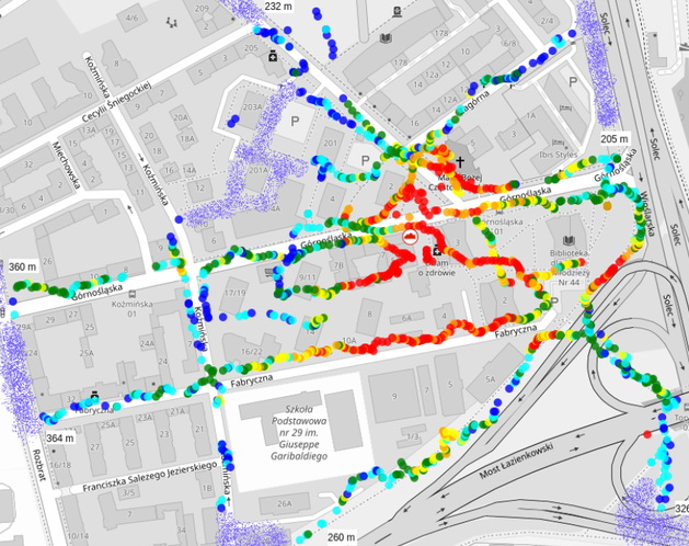
For the SmombieNET system to operate, the user's smartphone should send anonymized data to a server when certain events occur. This data should not contain any information that could identify a specific person. Its purpose is solely to record the event itself, its time, location, and basic movement parameters. Combining such data from a large number of users would make it possible to analyze not individual cases, but general patterns of pedestrian behavior and the occurrence of dangerous situations in the urban environment.
Date and time of the event
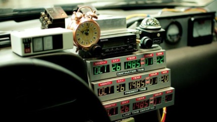
Each event should include information about the date and time when it occurred. This will make it possible to identify not only the location but also temporal patterns. It would then be possible to compare the number of dangerous events in the morning and evening, on weekdays and weekends, or at different times of day. Combined with other data, this information could provide a more complete picture of the conditions under which potentially dangerous situations occur.
Event types

The event type is one of the most important parts of the telemetry because it shows what exactly happened to the user while walking with the Smombie Assistant module enabled. Several main event types are proposed.

Start means that the pedestrian began moving with the smartphone screen turned on. This event marks the beginning of a potentially dangerous period when a person is walking and using a smartphone at the same time.
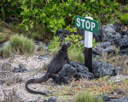
Stop means that the pedestrian stopped moving while the screen remained turned on. This event ends the corresponding period of smartphone use while walking and makes it possible to determine its duration. It may also indicate the pedestrian's reaction to a warning from Smombie Assistant.

Warning is recorded when Smombie Assistant detects a potentially dangerous object or area ahead of the pedestrian and alerts them to the detected danger. Such events are particularly important for further analysis because they make it possible to determine where the system most frequently detects potential threats.
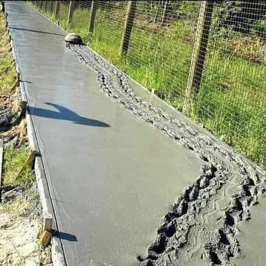
Ignore is recorded when the user receives a warning about danger but continues moving with the screen turned on. Such events may be particularly valuable for analyzing pedestrian behavior because they make it possible to determine not only the number of detected dangers but also how people respond to warnings.

Fall means that the smartphone is detected as having fallen from the user's hand while moving with the screen turned on. Within the SmombieNET concept, such an event could be considered a possible indicator of a pedestrian accident or collision with something. However, it is important to keep in mind that a dropped smartphone does not necessarily mean that the person themselves fell. Therefore, this indicator would require additional verification and careful interpretation in a real system.
Movement speed

Information about movement speed will make it possible to determine how fast the pedestrian was moving when an event occurred. This indicator may be useful for analyzing behavior under different conditions and comparing movement speed with other events, such as warnings or falls. It could also help distinguish normal walking from running, stopping, and other changes in movement patterns.
GPS coordinates
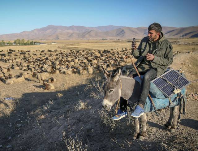
GPS coordinates make it possible to determine the location where an event occurred. It is precisely this spatial connection that turns individual telemetry events into material for analyzing the urban environment. Coordinates could show which streets, intersections, pedestrian crossings, sidewalk sections, and other infrastructure locations experience warnings and potentially dangerous situations most frequently.
In the future, the combined data could be used to create a map of risks and dangerous locations for pedestrians. Such a map could show areas with a high concentration of warnings, ignored warnings, falls, and other events. The more users participate in the system and the more routes are processed, the more detailed and potentially objective such a map could become.
2. Safe urban infrastructure

At present, there is no reliable information about exactly where pedestrians using smartphones regularly find themselves in dangerous situations. If millions of users walk millions of kilometers, receive millions of warnings, and transmit millions of telemetry events, it could become possible to answer important questions that today are difficult for anyone to answer:
- Where are pedestrians most often distracted by their smartphones?
- Where do dangerous situations most often occur for such pedestrians?
- How effective are tactile paving, warning lines, other visual warnings, and safety measures?
- Which types of warnings, signs, and structures are most effective for smombies?
- Which types of urban environments are most dangerous for smombies?
In this way, SmombieNET could make it possible to evaluate the effectiveness of urban infrastructure more comprehensively: yellow warning lines, yellow tactile paving, other warning signs and protective structures, pedestrian routes, legal measures, and other solutions aimed at improving pedestrian safety.
Such information could be useful not only for analyzing existing infrastructure but also for improving it. If the system shows that a particular section of a road regularly generates a large number of warnings or other dangerous events, this could become a reason to study that location in greater detail. Perhaps the danger zone is not marked clearly enough, the pedestrian route is poorly organized, a necessary barrier is missing, or existing warning elements are not sufficiently effective for pedestrians using smartphones.
3. Pedestrian behavior and safety
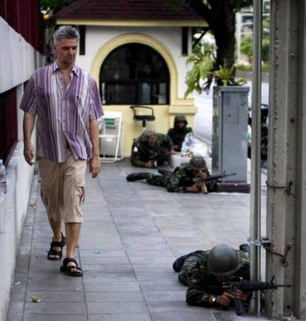
One of the most valuable results of SmombieNET could be the ability to see the problem not only from the perspective of urban infrastructure but also through the eyes of pedestrians themselves. The system could show how often people use smartphones while moving, how long they continue walking with the screen turned on, how they respond to warnings, and in which situations dangerous behavior occurs most often. This would make it possible to move from the general statement that using a smartphone while walking is dangerous to an objective understanding of how people actually behave in real-world conditions.
The behavior of the users themselves becomes particularly important here. A pedestrian using a smartphone while walking is not only a potential source of danger. At the same time, they become a participant in the system who helps collect information about the urban environment through their everyday movement. Each route, each warning, and each recorded event can collectively contribute to the overall picture of urban safety.
This is an important feature of SmombieNET: the user does not simply receive assistance from the system but also helps make the surrounding environment safer. Millions of people traveling along their normal routes could potentially create a huge amount of data about the safety of the urban environment. The results of such analysis should ultimately return to the pedestrians themselves in the form of safer routes, improved infrastructure, more effective warnings, legal regulations, and other changes.
Thus, user participation becomes one of the key elements of the entire system. Without real people and their everyday routes, it is impossible to obtain a large-scale picture of the problem. It is pedestrians, through their actions and events, who can show where problems exist that currently remain unnoticed. And the more people participate in such a system, the more opportunities there will be to use real-world data to improve the urban environment.
Conclusion

SmombieNET could become a link between people, smartphones, and the urban environment. Anonymized event data could show where and under what circumstances potentially dangerous situations occur, analysis of pedestrian behavior could help better understand the causes and characteristics of such situations, and spatial analysis could make it possible to evaluate the effectiveness of existing urban infrastructure. As a result, data initially generated for the operation of the Smombie Assistant module and the safety of individual users could acquire a much broader meaning. It could become a tool for analyzing the urban environment, helping identify problem areas, improve infrastructure, and make streets safer not only for today's users of the system but also for future generations of pedestrians.